
Parks and Open Space
The open space and parks in Planning District I are discussed in Chapter 6. Parks and Recreation, and the parks are identified on Map 6-1.
Parks
Planning District I has several parks. However, the district has a park deficit. Several neighborhoods are not served by local parks.
Huntington District Park, Anderson Park, King-Lincoln Park and Peterson's Yacht Basin/North Anderson Park are located at opposite ends of the District. These parks have water accessibility. Huntington Park has an attractive beach with concession building, boat launch, the James River fishing pier, restrooms, and Fort Fun playground. A major tennis complex is located beside the YMCA. During warm weather the beach and pier are crowded. Although located in Planning District I, Huntington Park is separated from its residents by Mercury Boulevard.
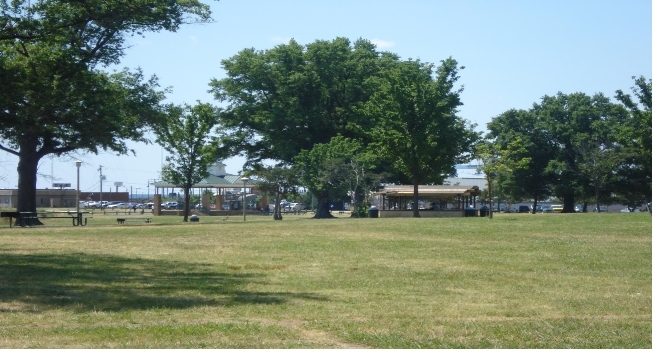
The Hampton Roads Waterfront Parks Plan was completed, approved and adopted by the City of Newport News. This plan guides the City in planning and implementing park
improvements between King-Lincoln Park and the Hampton City line. The lack of funding has delayed implementation of the plan's
recommendations. It is recommended that funding to implement the plan should be given priority in the City's Capital Improvement
Program.
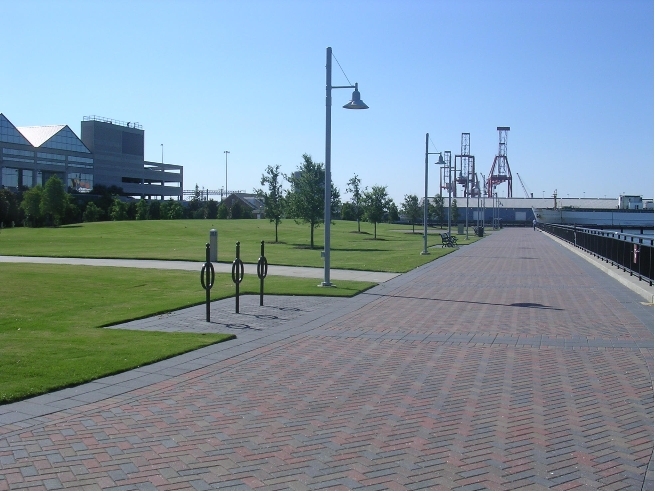
In the Maritime Center, Victory Landing Park was constructed as part of the VASCIC project. This will improve public access to and scenic views of the water and provide a major amenity to Downtown.
The Superblock is planned to be upgraded to become an urban park, called Central Park, enhanced with a marketplace providing shops and outdoor dining.
Schools provide recreational space in neighborhoods. Over the years, Planning District I experienced a reduction in recreational space when older schools were closed. The Newmarket and North End/Huntington Heights communities are not served with recreational amenities.
A new southeast community recreation center is planned for 12th Street and Ivy Avenue. Funding for the center will need to be included in the City's Capital Improvement Program.
Greenways
Greenways will traverse neighborhoods along creeks, waterways and public utility easements. Planning District I's greenways will run along Salter's Creek, its tributaries and Newmarket Creek. A greenway buffer should be provided along the CSX railroad tracks which parallels 39th Street.
Natural Areas
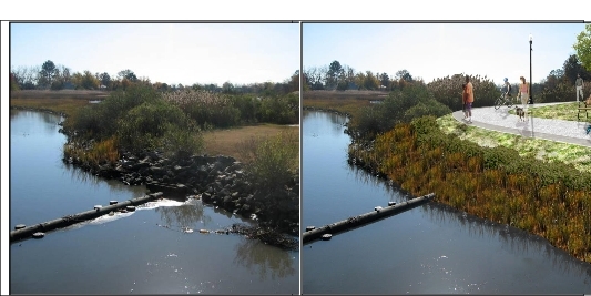
The waterfront along the James River and Hampton Roads is largely developed. Nevertheless, opportunities to improve waterfront access still remain. The private residential development which backs up to the waterway has maintained much of the beach and provides open space between the residences and the waterfront. A public waterfront park, with a trail and beach, abuts Stuart Gardens apartments.