Balanced Transportation
Streets
The couplets of one-way streets, 25th/26th Streets and 27th/28th Streets, in Planning District I harm residential neighborhoods by channeling traffic through these areas. This traffic isolates the residential blocks and divides neighborhoods. The couplets were once arterial streets carrying heavy traffic in and out of downtown. Since the opening of I-664, traffic patterns have shifted. Yet, the couplets remain. Changing the couplets to handle two way traffic would reduce traffic and noise in the affected residential areas. Each couplet should be functionally classified as collector streets accommodating two-way traffic.
The street improvements recommended for Planning District I are:
- Widen Briarfield Road;
- 25/26th Streets and 27/28th Streets should be made two-ways Streets;
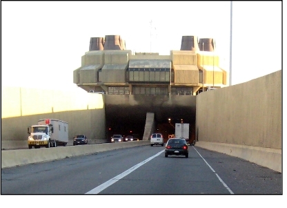
- Improve Interstate 664 to eight (8) lanes from Downtown Newport News to Interstate 64 in Hampton and add sound walls; and
- Improve the I-64/Terminal Avenue interchange to improve access to the waterfront.
Wherever possible, streets should be reoriented to minimize through traffic in each neighborhood. Efforts need to be made to reduce speeding and implement traffic calming. Chesapeake Avenue, Huntington Avenue and Warwick Boulevard should be studied for potential traffic calming. In downtown, the partial one way street system is confusing to visitors. Where possible the numbered one way streets should be made two-way with parallel parking permitted on the streets.
Sidewalks
The Community Development Block Grant funds sidewalk improvements. The Planning District I Task Force prioritizes sidewalks and streets in need of repair and improvement. The sidewalks are then built by the Department of Public Works in accord with these priorities. It is recommended the City continue to fund this program with Community Development Block Grant Funds until all streets have safe sidewalks.
Bikeways/Trails
Planning District I's bikeways and pedestrian trails will run along arterial streets, greenways and parks. They will connect activity centers. A regional bike connection will be located along the CSX east/west spur at 39th Street. However, because of space limitations in Planning District I, most bikeways will be bike routes on streets.
Transit
A commuter rail is planned along the CSX Railroad, and light rail premium bus service linking Planning District I with the rest of the City, Richmond, and the Southside of Hampton Roads via the third crossing. Light rail transit would operate at surface level in the CSX rail right-of-way. Bus routes will be redirected to feed into designated transit stations.
The I-64 Major Investment Study recommended providing higher speed rail on the CSX Corridor with nine trips per day between Richmond and Newport News. It is recommended that rail stations in the City be located near the Airport and Downtown. At these points, passengers could interconnect with the light rail system and buses.
Mixed use, transit oriented developments and higher density residential developments are recommended to increase people's access to transit stations. This type of development typically occurs around transit station sites. Transit stations should be considered for areas of the district that are targeted for redevelopment such as the Southeast Community.
Third Crossing
The proposed Third Crossing is one of the major transportation priorities for the Hampton Roads Region. The third crossing will connect the Peninsula with the Southside of the Hampton Roads Region. The third crossing includes two tubes with four traffic lanes and a third tube for public transit such as light rail and commuter rail.
The third crossing will operate in tandem with the Monitor-Merrimac Bridge Tunnel. The existing bridge tunnel will carry north bound traffic north and the new bridge tunnel will carry south bound traffic. The third crossing will be built west of Interstate 664. This location reduces the number of potential displacements and avoids crossing King Lincoln Park and the Seafood Industrial Park.